Select
Explore
keyword: land subsidence – 17 free books.
Ground Deformation Patterns Detection by InSAR and GNSS Techniques
Mimmo Palano (editor)
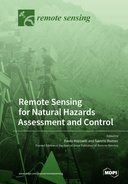
Remote Sensing for Natural Hazards Assessment and Control
Paolo Mazzanti and Saverio Romeo, editors
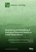
Monitoring and Modelling of Geological Disasters Based on InSAR Observations
Chisheng Wang et al. (editors)
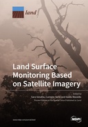
Land Surface Monitoring Based on Satellite Imagery
Sara Venafra et al. (editors)
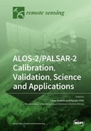
ALOS-2/PALSAR-2 Calibration, Validation, Science and Applications
Takeo Tadono and Masato Ohki, editors
Coastal Waters Monitoring Using Remote Sensing Technology
Stefano Vignudelli and Jérôme Benveniste, editors
Artificial Intelligence Methods Applied to Urban Remote Sensing and GIS
Chang-Wook Lee et al. (editors)
Remote Sensing Applications in Coastal Environment
Paweł Terefenko et al. (editors)
Landscapes and Landforms of Terrestrial and Marine Areas
Mauro Soldati et al. (editors)
Monitoring Land Subsidence Using Remote Sensing
Massimo Fabris et al. (editors)
Advances in Remote Sensing-based Disaster Monitoring and Assessment
Jungho Im et al. (editors)
Synthetic Aperture Radar (SAR) Techniques and Applications
Fabio Bovenga (editor)
Machine Learning Techniques Applied to Geoscience Information System and Remote Sensing
Hyung-Sup Jung and Saro Lee
Urban Deformation Monitoring using Persistent Scatterer Interferometry and SAR tomography
Michele Crosetto et al.


